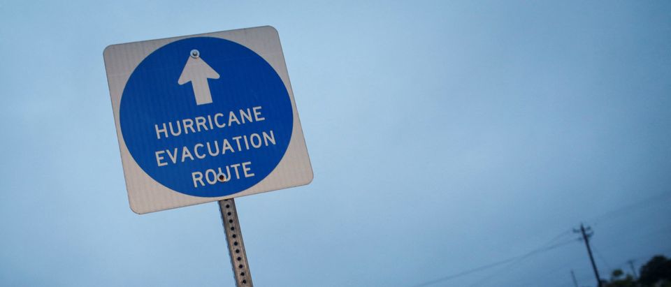
Hurricane Ian is on the brink of becoming a Category 5 storm Wednesday.
The United States Geological Survey (USGS), a government agency responsible for scientific studies into natural disasters, issued urgent warnings to Floridians and others in its path about potentially deadly storm surges along the western coast of the state.
Hurricane Ian gained significant strength from Tuesday night through Wednesday morning, becoming a Category 4 storm poised to become Category 5, according to ABC News. Landfall along the western coast of Florida is expected in the coming hours, accompanied by a life-threatening storm surge, the USGS warned.
Winds reached 155 mph around 6:30 a.m. Wednesday morning when Hurricane Ian was just 65 miles west-southwest of Naples, according to the Palm Beach Report. Category 5 designation starts at 157 mph winds.
#Ian‘s maximum sustained winds are now 155 mph, just short of Category 5 status (157mph.)
This storm is intensifying fast. pic.twitter.com/ng5N6URjlM
— The Weather Channel (@weatherchannel) September 28, 2022
Storm surges are ranked as one of the most dangerous natural hazards to humans and other animals, often coming with enough strength to erode protective dunes and breach inland areas, USGS reported. Homes, businesses, roads, bridges, waters and sewer systems are all at risk, along with the chance of profound changes to coastal landscapes, USGS continued.
“Clearly, this is a very powerful, major hurricane.”
Florida Gov. Ron DeSantis provides an update on the latest on Hurricane Ian which is expected to make landfall this afternoon as a major storm.@GovRonDeSantis
MORE: https://t.co/nAIWJvGn87 pic.twitter.com/EttcUGMGJf
— Newsmax (@newsmax) September 28, 2022
A 16-foot storm surge is possible as winds edge towards the Category 5 designation in the Fort Myers area, with up to 11 feet forecast in and around the Naples area, ABC News noted. A maximum surge of 10 feet is anticipated in the Sarasota area.
“Our biggest concern as we wait for this storm to make landfall is storm surge,” FEMA Administrator Deanne Criswell said Tuesday. “In 2018, when Hurricane Michael impacted the Florida Panhandle, there were five recorded fatalities as a result of storm surge.” (RELATED: Hurricane Season Is Upon Us, And It’s Going To Be A Big One)


